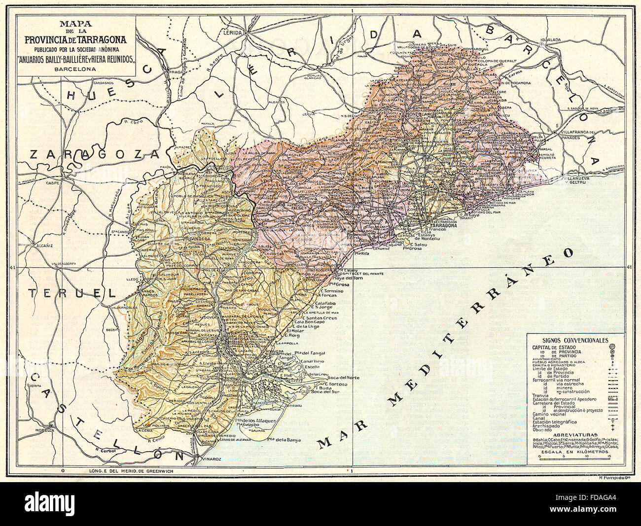
SPAIN: Mapa de la Provincia de Tarragona, 1913
RFID:Image ID:FDAGA4
Image details
Contributor:
Antiqua Print Gallery / Alamy Stock PhotoImage ID:
FDAGA4File size:
24.4 MB (2.9 MB Compressed download)Releases:
Model - no | Property - noDo I need a release?Dimensions:
3365 x 2531 px | 28.5 x 21.4 cm | 11.2 x 8.4 inches | 300dpiDate taken:
1913Location:
SpainMore information:
This image could have imperfections as it’s either historical or reportage.
Artist/engraver/cartographer: Engraved by M. Pompido Do. Provenance: "Atlas de Espana", Bailly-Bailliere - Riera, Publicado por la Sociedad Anonima Anuarios Bailly-Bailliere y Riera Reunidos., Barcelona. Type: Colour vintage map.