|
search place name
|
||
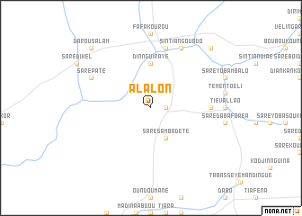
Alalon (Kolda, Senegal)Alalon is a town in the Kolda region of Senegal. An overview map of the region around Alalon is displayed below.
regional and 3d topo map of Alalon, Senegal ::
Alalon airports ::
The nearest airport is TUD - Tambacounda, located 129.4 km north east of Alalon.
Other airports nearby include BXO - Bissau Oswaldo Vieira Intl (168.7 km south west), ZIG - Ziguinchor (192.2 km west), KLC - Kaolack (205.9 km north west), Nearby towns ::
Kandiator (1.8km east) //
Saré Sambadété (4.1km south east) //
Dinnguiraye (5.6km north) //
Bassoum (7.2km east) //
Douta Diara Samba Balde (7.6km north) //
Saré Paté (8.1km north west) //
Sintiân Goundo (8.2km north east) //
Darou Salam (10.4km north west) //
Saré Bouré (10.4km north east) //
[all distances 'as the bird flies' and approximate] 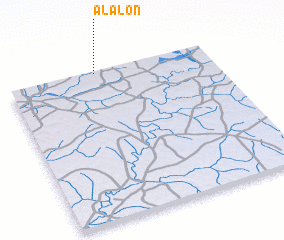 Places with similar names to Alalon, Senegal ::
Disclaimer :: Information on this page comes without warranty of any kind |
||
|
Where is Alalon? Elevation and coordinates ::
Latitude (lat): 12°59'0"N Longitude (lon): 14°34'0"W
Elevation (approx.): 40m (map arrows pan, magnifying glasses zoom) |
||
|
Visiting Alalon? Hotel/Accommodation ::
Book a hotel in Alalon Travel Guide ::
Buy a travel guide for Senegal rental cars ::
car rental offers GPS waypoint ::
download a GPX waypoint (PoI) of Alalon for your GPS receiver
|
||