


Declared a Natural Monument in 1994, the Los Ajaches Massif, located in the southeastern fringe of Lanzarote, corresponds to a large volcanic edifice formed during the Miocene about 15 million years ago.
In that infinite period, two volcanic sequences took place, however, there is barely a trace of the old volcano of Los Ajaches due to the erosive processes of the last two million years. Its coastline, its ravines and valleys, its peaks that resemble axes, are immutable witnesses of the future of Lanzarote.
Here are 10 hiking routes to discover the bowels of this natural area.
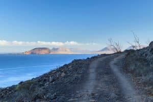
At the northernmost point of Los Ajaches is the small coastal town of Playa Quemada, one of the most picturesque pockets of the island. Towards the south, the slopes of the different cliffs appear that separate mystical black sand beaches until reaching the Garden House.
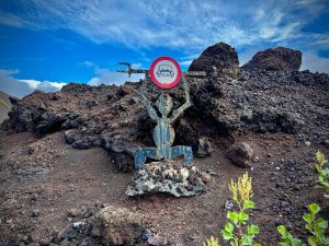
The Garden, a mini-garden of miniature cactus, and a cave that exposes sea gear, were carefully built in a small cove of pebble stones by a couple of reef dwellers who disconnected from the city in these parts.
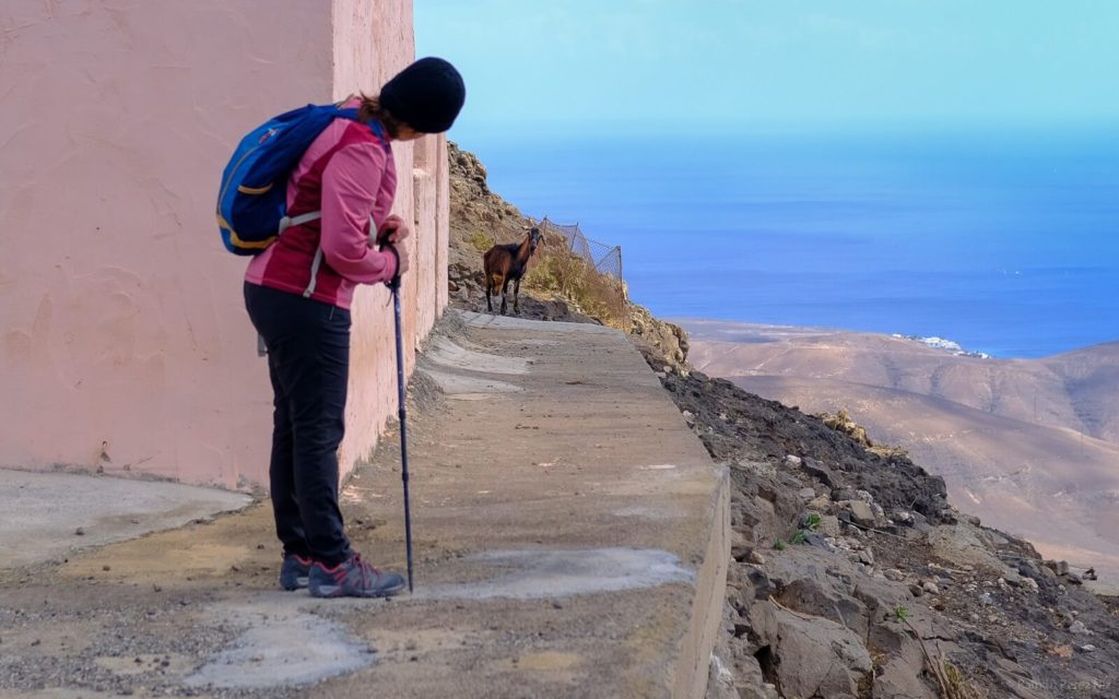
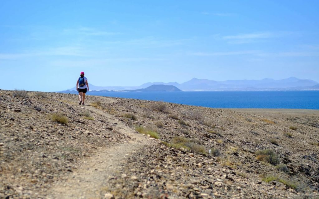
Hidden among the peaks of Los Ajaches, at more than 400 meters high, sleeps Femés, an agricultural-livestock town, from where many of the "Ajachian" trails start.
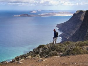
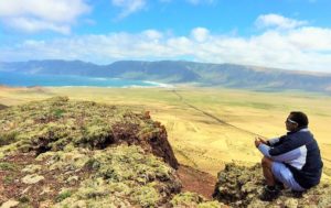
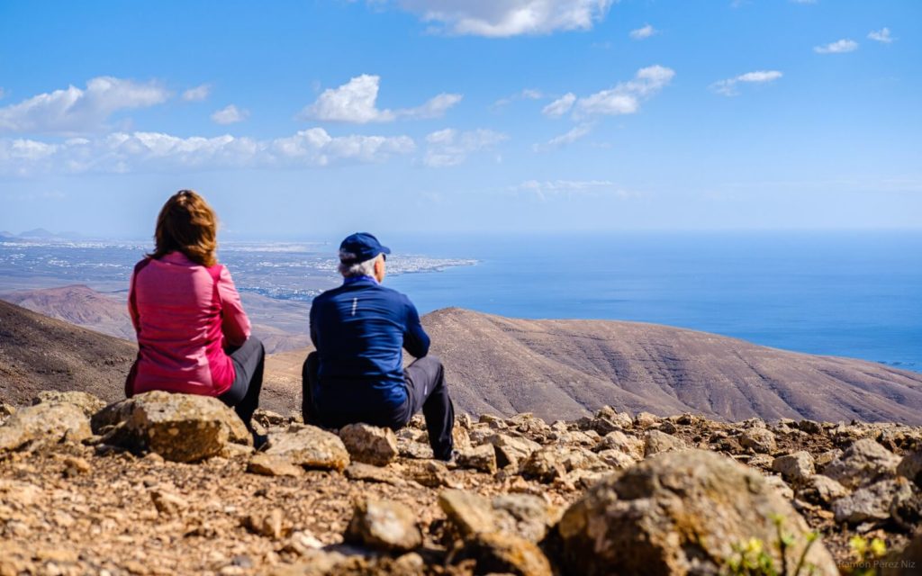
This one that takes you to the Pico de la Aceituna and the Morro de los Dises passes through the heights, in a southerly direction, opening up various panoramic views: to the east, Playa Quemada; to the west, the Salinas de Janubio and El Golfo; to the south, Playa Blanca and the neighboring islands of Lobos and Fuerteventura.
The trail takes you to the top of Morro de los Dises, you also have the alternative of ascending a little more and reaching Hacha Grande, the highest point of Los Ajaches.
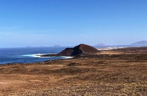
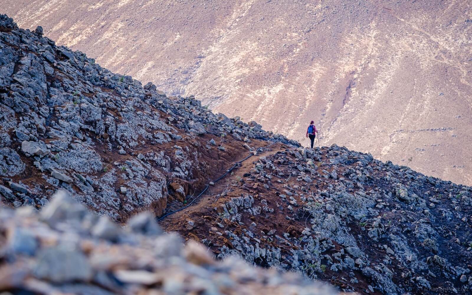
One of the hardest Atlantic walks in Lanzarote. Almost 20 kilometers are crossed, from northeast to southeast, of Los Ajaches, from the parsimony of Playa Quemada to the ecstasy of the Playas de Papagayo (southern, golden end of the natural area).
In the cycling slang the term rompepiernas would be used. Certainly, it goes that neither painted. It synthesizes what it means to assault the slopes, the goat trails, the wide paths at the mouths of the ravines where nothingness nests and some mystical black sand beaches.
Leaving behind the Axes of Los Ajaches, we approach the final stretch, gradually descending towards sea level where the crystalline waters of Papagayo and the (absolutely brutal) Atlantic panorama of Isla de Lobos and Fuerteventura await, thirsty.
Short but intense is the path that connects Las Casitas de Femés with Femés, separated by an agricultural meadow reminiscent of the gavias majoreras.
The connection is established through a path in the mountains that protect the towns to finish off the job at Pico del Filo, on the edge of Femés.
The location of the path, in the heights, places you in a privileged position to devour the stamp of the Natural Monument.
We continue in the town of Mararía, Femés, to ascend to the Filo del Cuchillo and from there take the path that crosses the Barranco de la Higuera descending. The compass is set in the direction of El Pozo de Playa Quemada.
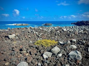
On the largest of the black sand beaches located to the south of Playa Quemada, El Pozo, we took our first bath, but it was not the last of the journey. In our final destination, Playa Quemada seems to be celebrating, and in fact it is (it was Saturday), birthdays that are prolonged with gins and dips, and the crowds waiting for the sunset on the gastronomic terraces of the town. We advance to this corridor to submerge our legs after the tour.
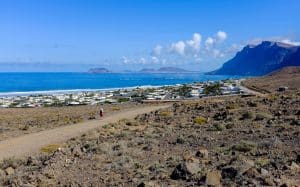
It is the fifth stage of the Lanzarote Nature Trail. The tour takes place on one side of the Los Ajaches Natural Monument and ends in the cove of the old town of Playa Blanca.
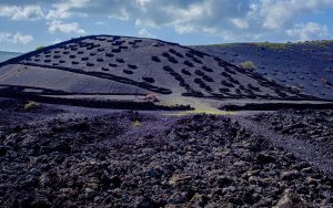
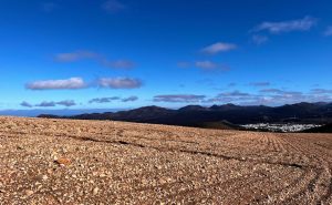
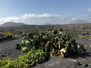
There are 17 kilometers that are approached in a very simple way since the path is very wide and goes down slightly during the entire journey. You walk between two worlds, the old eroded volcano of Los Ajaches contrasts with the new volcano, the neighboring penultimate eruptions of Timanfaya.
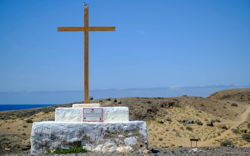
The Path to San Marcial del Rubicón is the journey to the first city in the Canary Islands that starts at this point (map) located in Las Coloradas, at the eastern end of Playa Blanca, the entrance to the Playas de Papagayo. That rubicense city and its hermitage were raised by the first conquerors Jean de Bethencourt and Gadifer de la Salle in 1404 between the beaches of Papagayo.
The conquest of Lanzarote by the Crown of Castile began at Los Ajaches, at its southern limit, the Rubicón, where today the best beaches on the island are located.
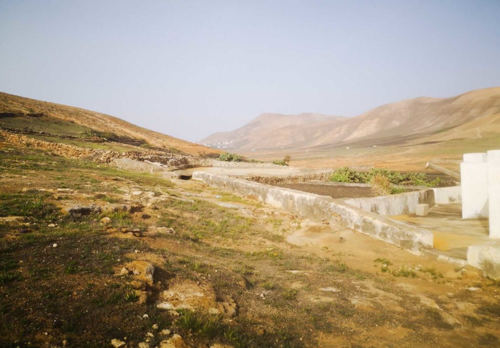
About 300 meters from the shore of Playa de El Pozo, the first cathedral in the Canary Islands, San Marcial del Rubicón, was built, which had to move to Femés years later because it was exposed to continuous pirate attacks.
The colonizers chose this route of incursion to begin the conquest of Lanzarote due to the possibility of creating a well (hence the name of the beach) and the proximity to Isla de Lobos (option to hunt monk seals).
The path is comfortable and the distance is acceptable even to dare to do it with children. The bathroom to finish off the experience is the icing on the cake.
Bigger words this route that starts from Femés and approaches the path that takes you to Pico de la Aceituna and Morro de los Dises, but that nevertheless we are going to extend to the beaches of Papagayo.
Another long-term tour, between 4-5 hours, that allows you to touch, feel the majesty of the Los Ajaches Natural Monument in all its dimensions.
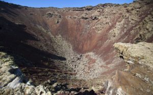
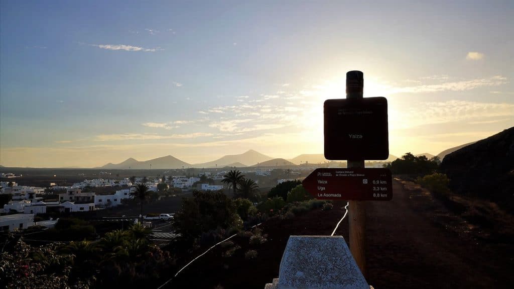
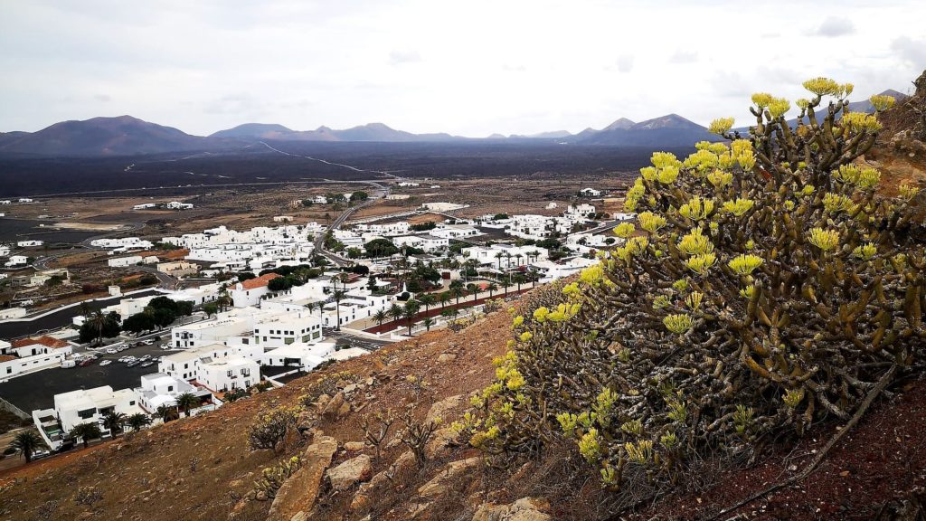
Small route between Yaiza and the well-known Lomo del Cura, on the edge of Los Ajaches. The place became the viewpoint from which Don Andrés, the priest of Yaiza at the time of the eruptions (1730), watched how the earth broke near his town and spewed lava wildly.
A strategic point to visualize again the contrast between the old and eroded Ajachian volcano and the youngsters of Timanfaya.
The last proposed trail runs along the Camino de los Camellos that starts from Uga and connects with the historic city of Yaiza. The camels and the goats are part of the stamp of Los Ajaches and Timanfaya, and this path through which the camels travel that will transport the tourists to the end of the volcanoes in Timanfaya is the central axis that divides Las Montañas del Fuego, to its right, and Los Ajaches, to your left.
From the sea of lava that we leave behind to the beautiful architectural framework of Yaiza. The trail ends in Plaza de Los Remedios, a step away from the Bar Stop that invites you to have a Stop with its mythical chickpeas.
If you have come this far, let us tell you that since 2013 we have been traveling through Lanzarote in search of its essence so that you can enjoy it like a local.