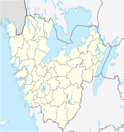
Älgarås
Älgarås | |
|---|---|
 The church in Älgarås | |
| Coordinates: 58°49′N 14°15′E / 58.817°N 14.250°E | |
| Country | Sweden |
| Province | Västergötland |
| County | Västra Götaland County |
| Municipality | Töreboda Municipality |
| Area | |
| • Total | 0.97 km2 (0.37 sq mi) |
| Population (31 December 2010)[1] | |
| • Total | 417 |
| • Density | 430/km2 (1,100/sq mi) |
| Time zone | UTC+1 (CET) |
| • Summer (DST) | UTC+2 (CEST) |
| Climate | Dfb |
Älgarås (Swedish pronunciation: [ˈɛ̂lːjarˌoːs])[2] is a locality situated in Töreboda Municipality, Västra Götaland County, Sweden with 417 inhabitants in 2010.[1] The battle of Älgarås, between the House of Sverker and House of Erik took place here in 1205, securing the crown for Sverker II of Sweden for some more years, until the battle of Lena in 1208.
References[edit]
- ^ a b c "Tätorternas landareal, folkmängd och invånare per km2 2005 och 2010" (in Swedish). Statistics Sweden. 14 December 2011. Archived from the original on 27 January 2012. Retrieved 10 January 2012.
- ^ Jöran Sahlgren; Gösta Bergman (1979). Svenska ortnamn med uttalsuppgifter (in Swedish). p. 29.


