IHM Información Náutica
1K+
Downloads

Everyone
info


About this app
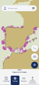
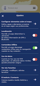
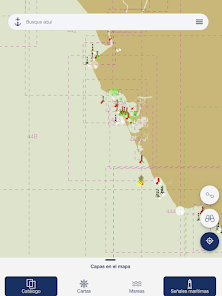
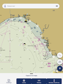
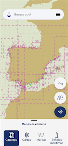
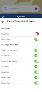
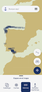
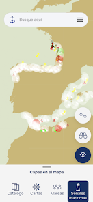
This application, developed by the Hydrographic Institute of the Navy (IHM), shows Nautical Information about Nautical Cartography, Maritime Signals (Book of Lights and Fog Signals), Notices to Navigators (GAN), Tide Prediction (Tide Yearbook ) and Distances between Spanish Ports. It uses as a base map the WMS Electronic Nautical Cartography services obtained from the IHM Spatial Data Infrastructure (IdeIHM).
*This application is not valid for navigation.
*This application is not valid for navigation.
Updated on
Safety starts with understanding how developers collect and share your data. Data privacy and security practices may vary based on your use, region, and age. The developer provided this information and may update it over time.

No data shared with third parties
Learn more about how developers declare sharing

No data collected
Learn more about how developers declare collection
What's new
Opción de ir a la localización de una señal marítima o carta desde sus fichas.
Mostrar coordenadas en modo navegación.
Mejoras de usabilidad.
Mostrar coordenadas en modo navegación.
Mejoras de usabilidad.